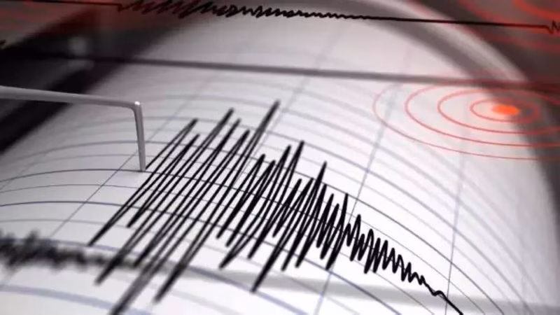
A powerful jolt shook the southern Philippines on the morning of January 7, 2026. A 6.4 magnitude earthquake struck off the coast of Davao Oriental, sending tremors of fear and uncertainty through the region. While authorities have confirmed there is no tsunami threat, the event is a sobering reminder of the archipelago’s precarious position on one of the world’s most active seismic belts.
Table of Contents
- The Quake: Magnitude, Epicenter, and Impact
- Why the Philippines is a Seismic Hotspot
- Critical Earthquake Safety Tips You Must Know
- Historical Context: A Nation Shaped by Tremors
- Final Thoughts and Staying Informed
- Sources
The Quake: Magnitude, Epicenter, and Impact
At precisely 11:02 AM local time on Wednesday, January 7, 2026, a Philippines earthquake of significant strength hit the region. The Philippine Institute of Volcanology and Seismology (PHIVOLCS) confirmed the magnitude at 6.4, with its epicenter located a mere 58 kilometers off the coast of Manay, Davao Oriental .
Initially reported by some agencies as a 6.7, the magnitude was later revised down to 6.4 by Philippine authorities . The United States Geological Survey (USGS) also recorded the event, corroborating its location and intensity .
While the quake’s offshore location likely mitigated the worst of the potential damage on land, the tremors were still strongly felt across the Davao Region. The Department of Social Welfare and Development (DSWD) has placed its Field Office 11 on alert to monitor the situation and prepare for any potential humanitarian needs .
Why the Philippines is a Seismic Hotspot
The Philippines isn’t just prone to earthquakes; it’s practically built on them. The nation sits directly on the Pacific Ring of Fire, a horseshoe-shaped zone that is home to over 75% of the world’s active and dormant volcanoes and is responsible for the vast majority of the planet’s seismic activity.
This high risk is due to its location at the complex intersection of several tectonic plates, primarily the Philippine Sea Plate, the Eurasian Plate, and the Sunda Plate. As these massive slabs of the Earth’s crust grind against and dive beneath one another—a process known as subduction—they build up immense pressure that is eventually released in the form of earthquakes.
Crisscrossing the islands are numerous active fault lines, including the massive Philippine Fault Zone and the Southern Mindanao Fault Lines, which can produce their own devastating quakes . This geologic reality makes the Philippines one of the most seismically active countries on the planet .
Critical Earthquake Safety Tips You Must Know
This recent event is a timely wake-up call for everyone, whether you’re in the Philippines or in another quake-prone area. Knowing what to do before, during, and after an earthquake can be the difference between life and death.
Immediately After the Shaking Stops
- Stay Alert for Aftershocks: These can be just as powerful as the main quake and are often more dangerous because they hit when structures are already weakened .
- Check for Injuries: Tend to your own injuries first, then help others if you can. Put on sturdy shoes and gloves to protect yourself from debris .
- Listen to Official Sources: Use a battery-powered radio or your phone (only for emergencies) to get updates from authorities like PHIVOLCS or your local government .
- Inspect Your Surroundings Carefully: Open cabinets cautiously, as contents may have shifted. Look for gas leaks, electrical system damage, and structural issues before re-entering a building .
For more comprehensive preparedness strategies, be sure to check out our guide on [INTERNAL_LINK:earthquake-preparedness].
Historical Context: A Nation Shaped by Tremors
Wednesday’s 6.4 magnitude event is a serious geological occurrence, but it is far from unprecedented in Philippine history. The country has a long and tragic record of powerful seismic events.
One of the most catastrophic was the 1976 Moro Gulf earthquake and tsunami in Mindanao, which registered a staggering magnitude of 8.0 and claimed thousands of lives . Other major events include the 1968 Casiguran earthquake and the 1990 Luzon earthquake, which devastated the city of Baguio .
These historical tragedies underscore a critical point: the Philippines’ battle with the Earth’s forces is ongoing. This latest Philippines earthquake is a stark, modern-day reminder of that enduring vulnerability and the absolute necessity of robust disaster preparedness at both a national and personal level.
Final Thoughts and Staying Informed
The 6.4 magnitude earthquake that struck Davao Oriental is a potent demonstration of the powerful natural forces at play beneath the Philippine islands. While the immediate threat of a tsunami has been averted, the potential for structural damage and aftershocks remains a serious concern. The best defense against such unpredictable events is knowledge and preparation. By understanding the risks, having a family emergency plan, and knowing the essential safety steps, you can significantly increase your chances of staying safe in a disaster. Stay informed through official channels like the Philippine Institute of Volcanology and Seismology (PHIVOLCS) and local news for the most accurate and timely updates.
Sources
Earthquake details from PHIVOLCS.
Philippines lowers magnitude of southern quake to 6.4 from 6.7.
DSWD’s Field Office 11 on alert after magnitude 6.4 earthquake hits Davao Oriental.
Magnitude 6.4 quake strikes off southern Philippines, no tsunami alert: USGS.
A magnitude 6.4 earthquake occurred 58 kilometers off Manay town in Davao Oriental.
Historical Earthquakes in the Philippines.
Philippines’ history of powerful earthquakes.
Active and Inactive Fault Lines in The Philippines.
M 5.8 – 3 km S of Lapaz, Philippines.
Earthquake Safety Tips from official emergency resources.
What to do after an earthquake from safety guides.
What to do After an Earthquake from the Seismic Safety Commission.